Next project | Venus
Vinhho, by wood carving, Maison d’Art, 2025
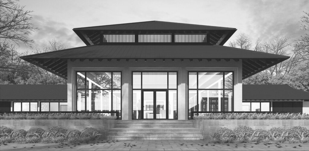
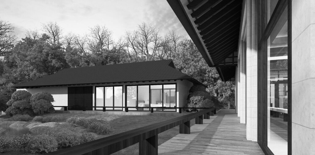
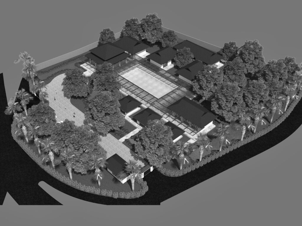
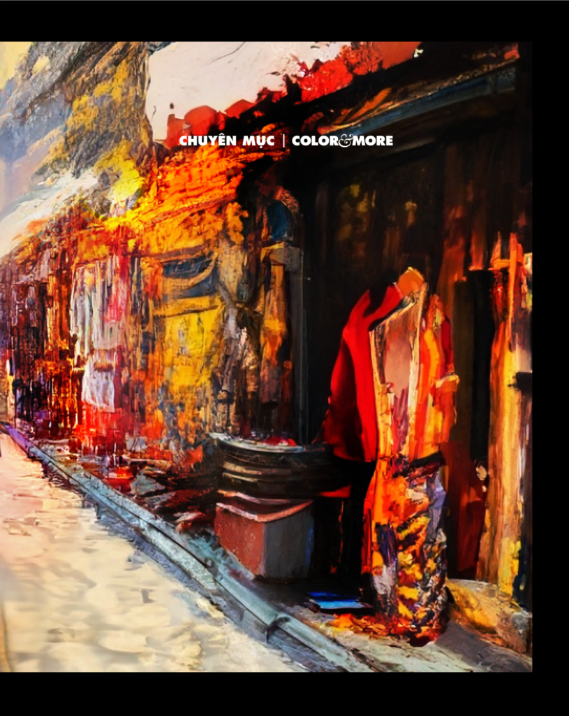
Next project | The Ambiguity Space
Next project | Talkshow SẮC MƯA
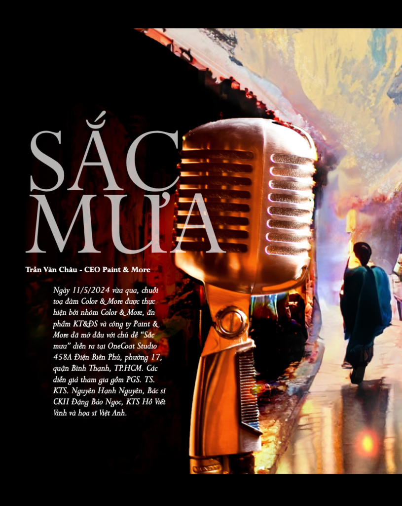
Có nơi nào trong ta chưa hề có mưa! Mưa là một cái cớ để yêu nhau, để nhìn về những hoài niệm và cảm xúc. Talkshow Sắc mưa là giọt cảm xúc rơi vào chính bản thân, để gột rửa, để dẫn lối ta chầm chậm cảm nhận cuộc sống. Thông qua chia sẻ của các diễn giả với góc nhìn kiến trúc, văn thơ, nhạc và họa. Để nhìn ngắm một “chiếc tôi” đáng yêu thông qua tọa đàm này, ta cho mình một trải nghiệm mới, một cảm nhận tâm tính của mưa, và đôi khi là của chính mình…
Ngày 11/5/2024 vừa qua, chuỗi toạ đàm Color & More được thực hiện bởi nhóm Color & More, ấn phẩm KT&ĐS và công ty Paint & More đã mở đầu với chủ đề “Sắc mưa” diễn ra tại OneCoat Studio 458A Điện Biên Phủ, phường 17, quận Bình Thạnh, TP.HCM. Các diễn giả tham gia gồm PGS. TS. KTS. Nguyên Hạnh Nguyên, Bác sĩ CKII Đặng Bảo Ngọc, KTS Hồ Viết Vinh và họa sĩ Việt Anh.
Mời xem Talkshow Sắc mưa qua các nội dung bên dưới:
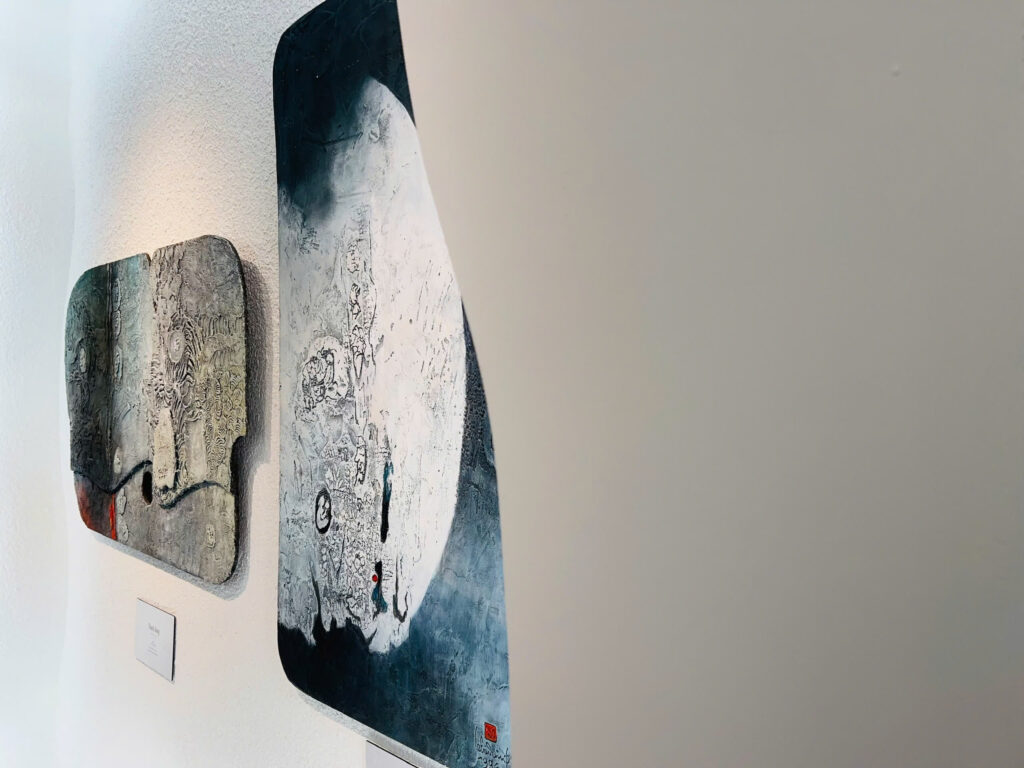
Next project | Sóng

Vinhho, Acrylic on canvas, 252x92cm, Maison de Corail reserved, 2025
Những con sóng nối tiếp nhau trườn trên bãi cát vẽ nên những đường cong tự do phơi mình dưới ánh mặt trời.
Sóng muôn hình vạn tướng: thấp cao, nghiêng ngã, cong tròn, méo lệch, yếu mạnh hợp quần tạo nên sắc khí của đại dương.
Cái thể tính bất phân ly tạo nên tính cách riêng biệt của sóng chính là sự tràn đầy. Năng lượng tích tụ vượt lên trăn trở bộn bề, trải qua một cuộc trường chinh đầy gian khó, nay đã gặp bờ để thổ lộ niềm kiêu hãnh.
Ấy vậy mà hình trạng của sóng chợt tan biến, ẩn khuất trong lớp lớp tạo tác liên tục của sự va đập không ngừng nghỉ.
Trong chiều quay biến thiên của sự tồn tại, mọi hình hài đều trở nên mong manh trước sự biến đổi của chính nó.
Kiến trúc sư Hồ Viết Vinh.01122025
Next project | Ru
Ru
Ru đời mấy giấc chiêm bao,
Xôn xao như gió ngã nhào bờ mê,
Ru quê cho tỏ đường về,
Tỉ tê câu chuyện bờ đê mái đình,
Ru mình chỉ mấy lời kinh,
Tâm minh hồn triết thanh hình sắc tao.
Lullaby
Lull life’s dreams in fleeting flight,
Stirred like winds tumbling on enchanted dikes,
Lull the homeland, reveal the path home,
Whisper tales by riverbanks and village halls,
Lull the self with sacred dharmas,
Enlightened soul, wisdom’s grace in form and rhyme.
Ho Viet Vinh 250412
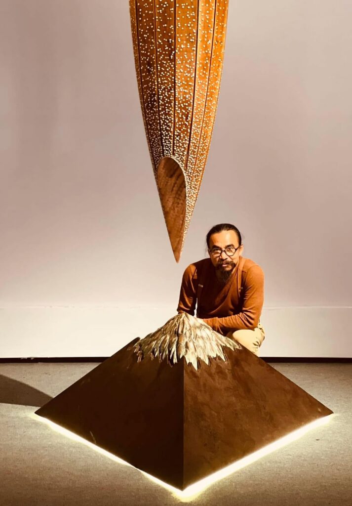
Next project | Le Ba Dang Art Space
At the end of November 2024, the Ho Chi Minh City Museum of Fine Arts launched the Le Ba Dang Art Space exhibition. The exhibition not only aims to showcase the distinctive creative values of painter Le Ba Dang but also serves as a tribute to the generosity of Mr. Le Tat Luyen and Mrs. Thuy Khue, who donated this collection. Their contribution has played a crucial role in preserving and promoting the value of this artistic heritage while fostering the creation of a vibrant art space that inspires future generations.
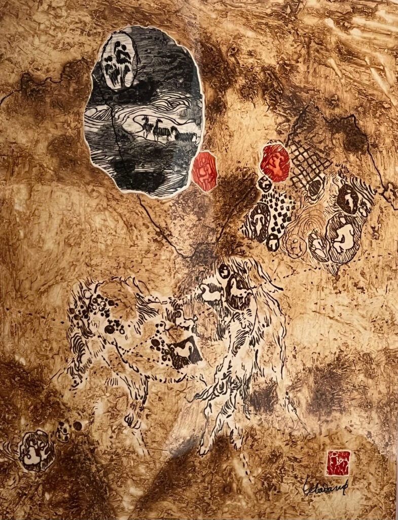
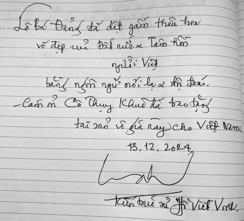
“The famous painter Le Ba Dang has woven brocade and embroidered the beauty of the country and the Vietnamese soul with a new and unique language of painting.”
Architect Ho Viet Vinh
Next project | FRAGILE
Fragile
“The quiet beauty and subtle melancholy, reflecting the fragility of life and the passage of time, enhancing the sense of fragility and evoking a sense of wonder and contemplation.”
Ho Viet Vinh
Fragile, Acrylic on canvas, 130x97cm, Maison d’Art 2024
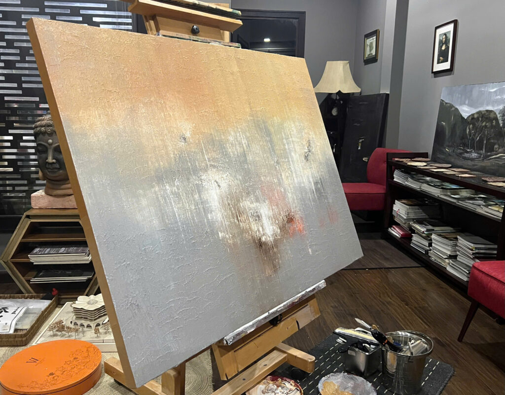
Maison d'Art
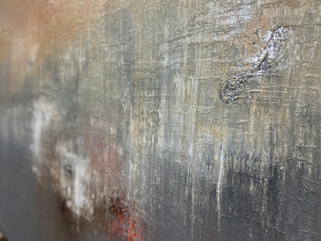
The fragility of life and the passage of time
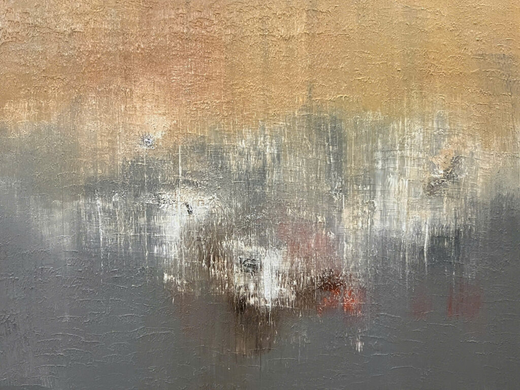
The quiet beauty and subtle melancholy
Next project | Thien An Community Park
Thien An Community Park, Hue symbolizes the exchange process among communities settling in a new land. They bring with them vast knowledge, unique customs, and aspirations to build a life in this new place. The community serves as a space for openness, exchange, learning, and growth. The process of convergence, interaction, and experimentation among these communities has shaped a distinctive character for the culture of the historic ancient capital.
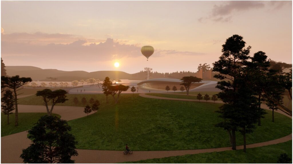
The park recreates the process of community formation through five main spaces:
- Meeting Space
- Exchange Space
- Agglomeration Space
- Experimental Space
- Performance Space
Each space embodies a unique form and function, representing a distinct stage in the process of community and cultural exchange.
Next project | White lotus
An elegant white tone as the main theme, featuring multi-layered spaces with depth and subtle connections. The space is shaped with soft curves inspired by abstract nature creating a sense of fluidity and natural flow in the architecture. The decorative surfaces of loose furniture are finished with high-quality Vietnamese lacquer techniques. Natural light blends harmoniously with artificial lighting, interacting with materials like glass, lacquer, premium fabrics, and marble, evoking emotional contrasts between light, material, and space. The overall design exudes a contemporary artistic elegence.
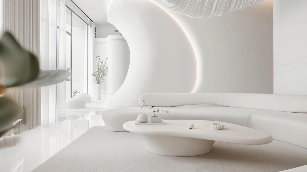
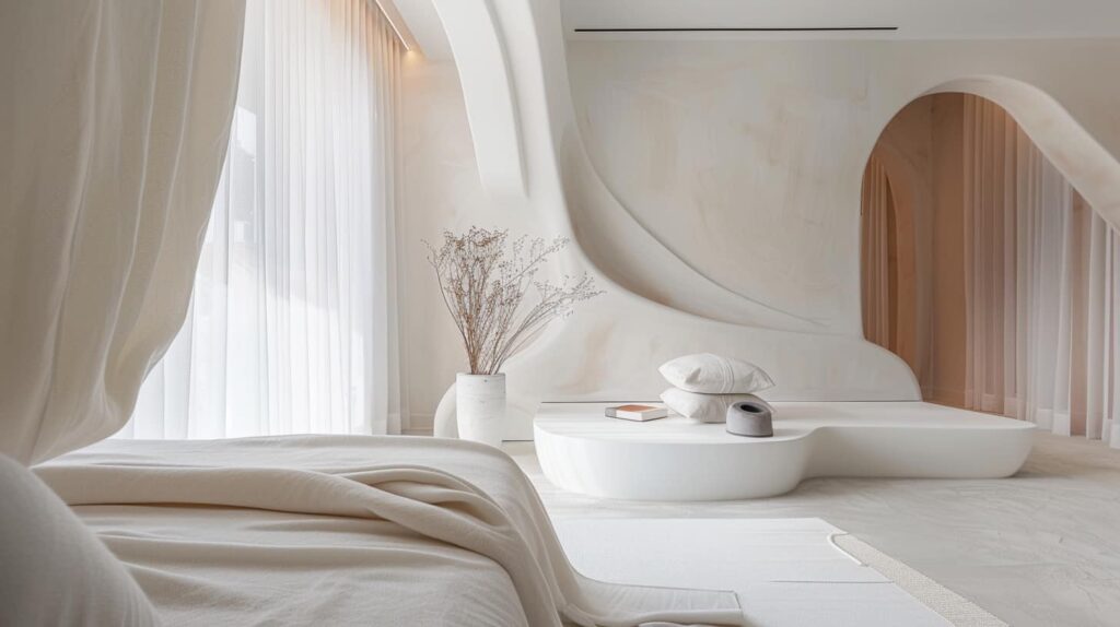
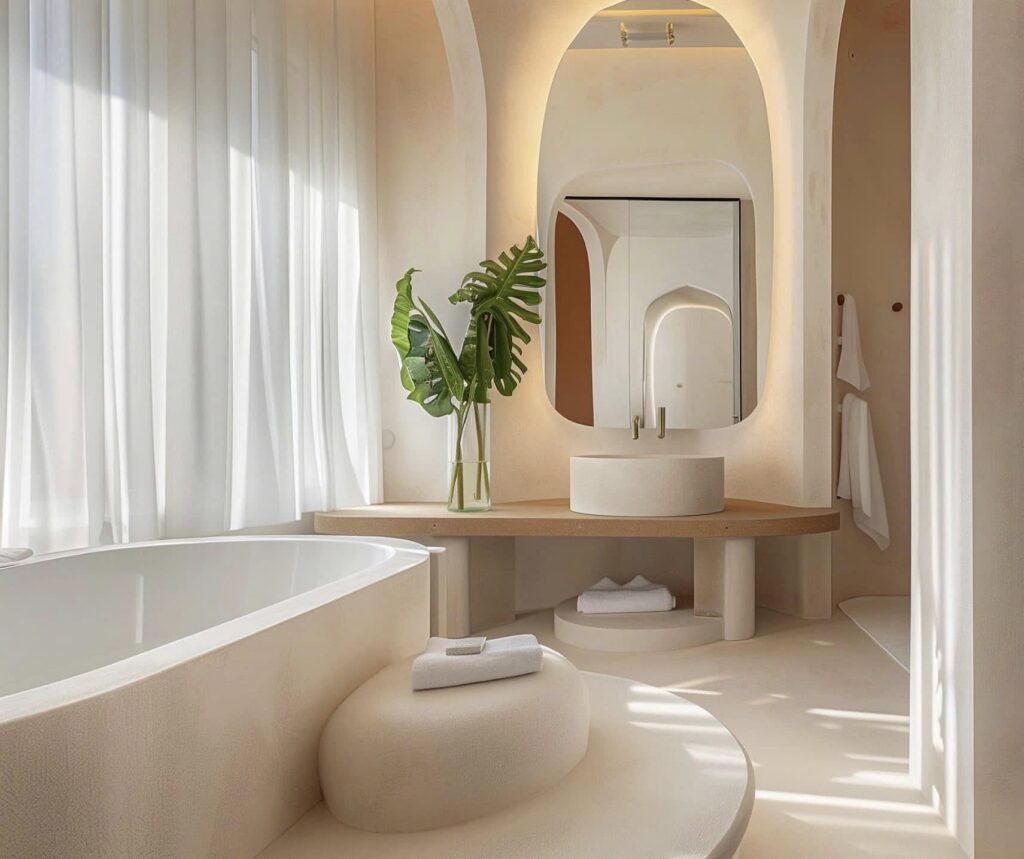
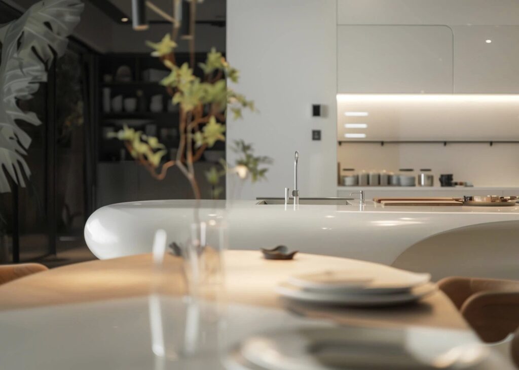
HVV Architect & Partners with AI supported
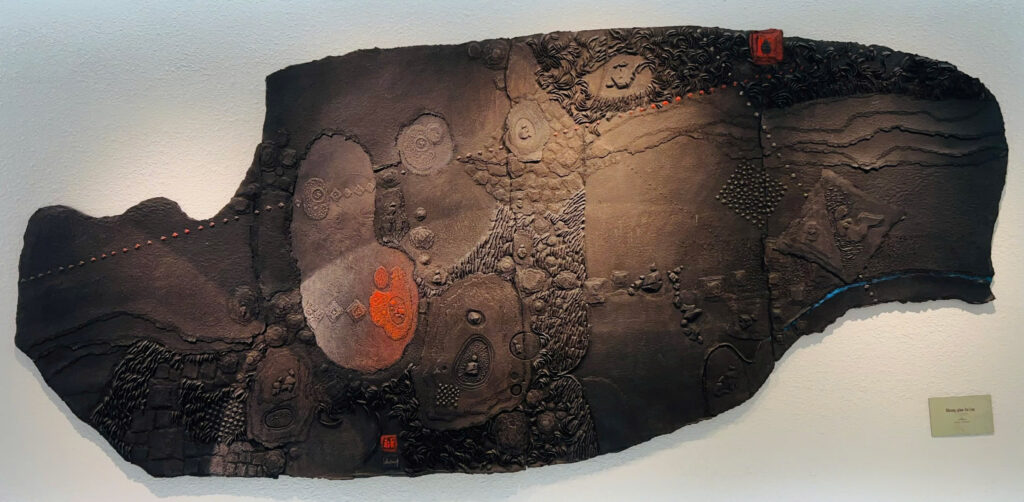
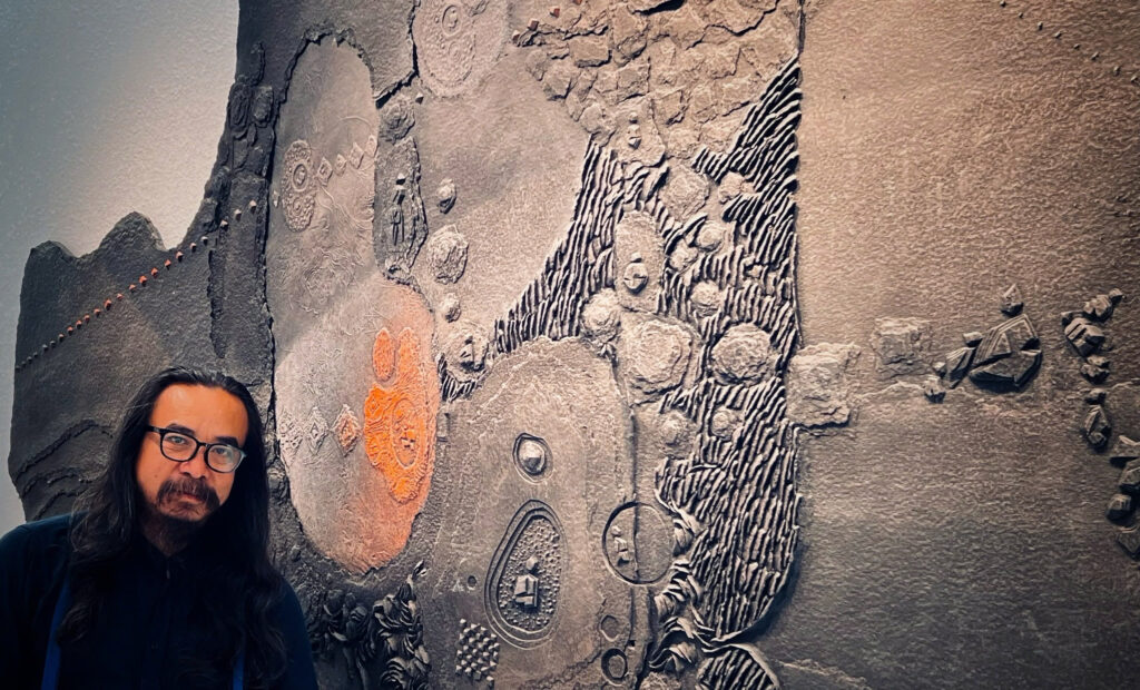
Next project | CỔ RÊU
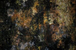
Cổ rêu phủ kín một đền đài, như một tấm thảm thời gian lặng lẽ trải dài trên bức tường cổ kính của Cố đô Huế. Những lớp rêu mỏng manh, nhưng kiên cường, bám chặt trên bề mặt xù xì của chất liệu: tựa như những ký ức xa xưa vẫn còn lưu lại, không thể phai nhòa theo năm tháng.
Trong ánh sáng mờ ảo của buổi chiều tà, màu xanh của cổ rêu trở nên lung linh hơn, như những viên ngọc bích nhỏ bé, lấp lánh giữa không gian yên tĩnh. Những đường vân của rêu, như những nét vẽ tinh tế của một họa sĩ tài hoa: tạo nên một bức tranh thiên nhiên sống động, đầy cảm hứng.
Mỗi không gian cổ rêu là một câu chuyện, một mảnh ghép của quá khứ, gợi nhớ về những ngày tháng vàng son của triều đại xưa. Đôi khi, một cơn gió nhẹ thổi qua, làm rêu lay động, như những dòng chữ cổ xưa đang thì thầm kể lại những bí mật của thời gian.
Cổ rêu tại Cố đô Huế không chỉ là một phần của cảnh quan, mà còn là biểu tượng của sự trường tồn, của vẻ đẹp giản dị nhưng sâu lắng, khiến lòng người không khỏi bồi hồi, xao xuyến mỗi khi bước ngang qua nó.
Kiến trúc sư Hồ Viết Vinh, Huế. 2025