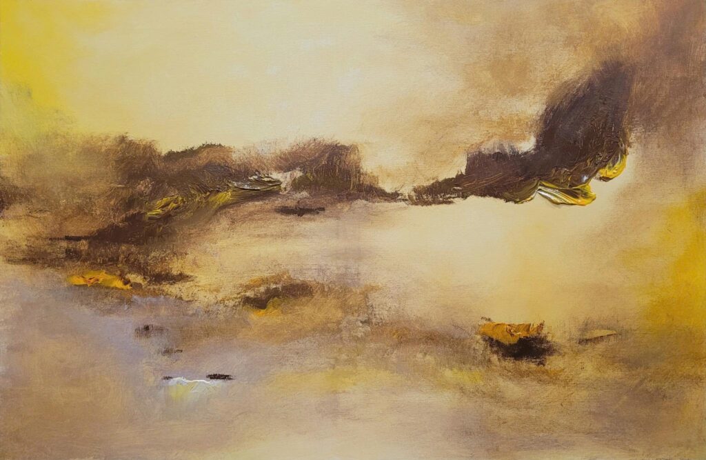
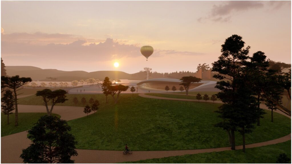
Mine Art Gallery
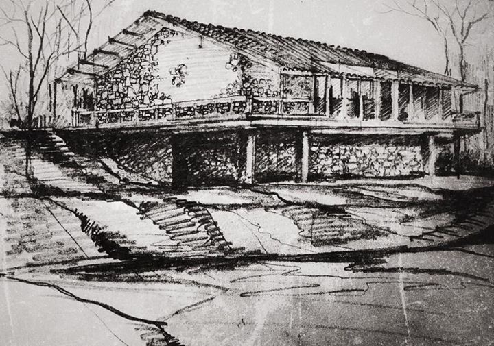
Cam Pha coal mine was established by the French in 1886 under the name Société Française des Charbonnages du Tonkin during the reign of King Tu Duc. The mine’s stratigraphic structure descends into deep underground terraces, with coal seams gradually revealed in the light that pierces through the valley.
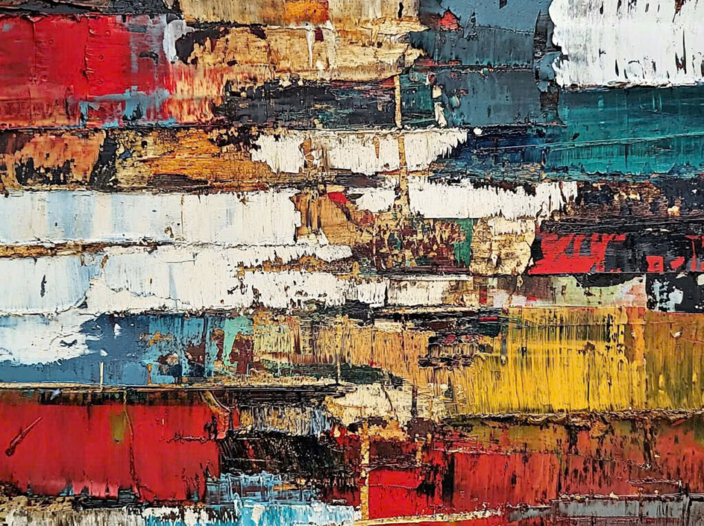
The jet-black hue of coal, intermingled with the reddish-brown of the earth and the arid dust suspended in the air, creates an abstract palette imbued with depth and intensity.
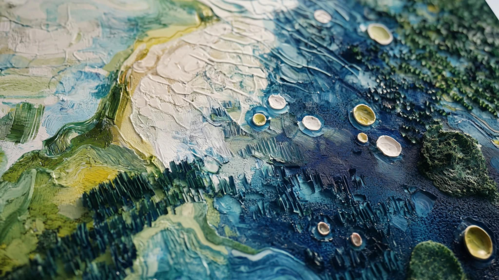
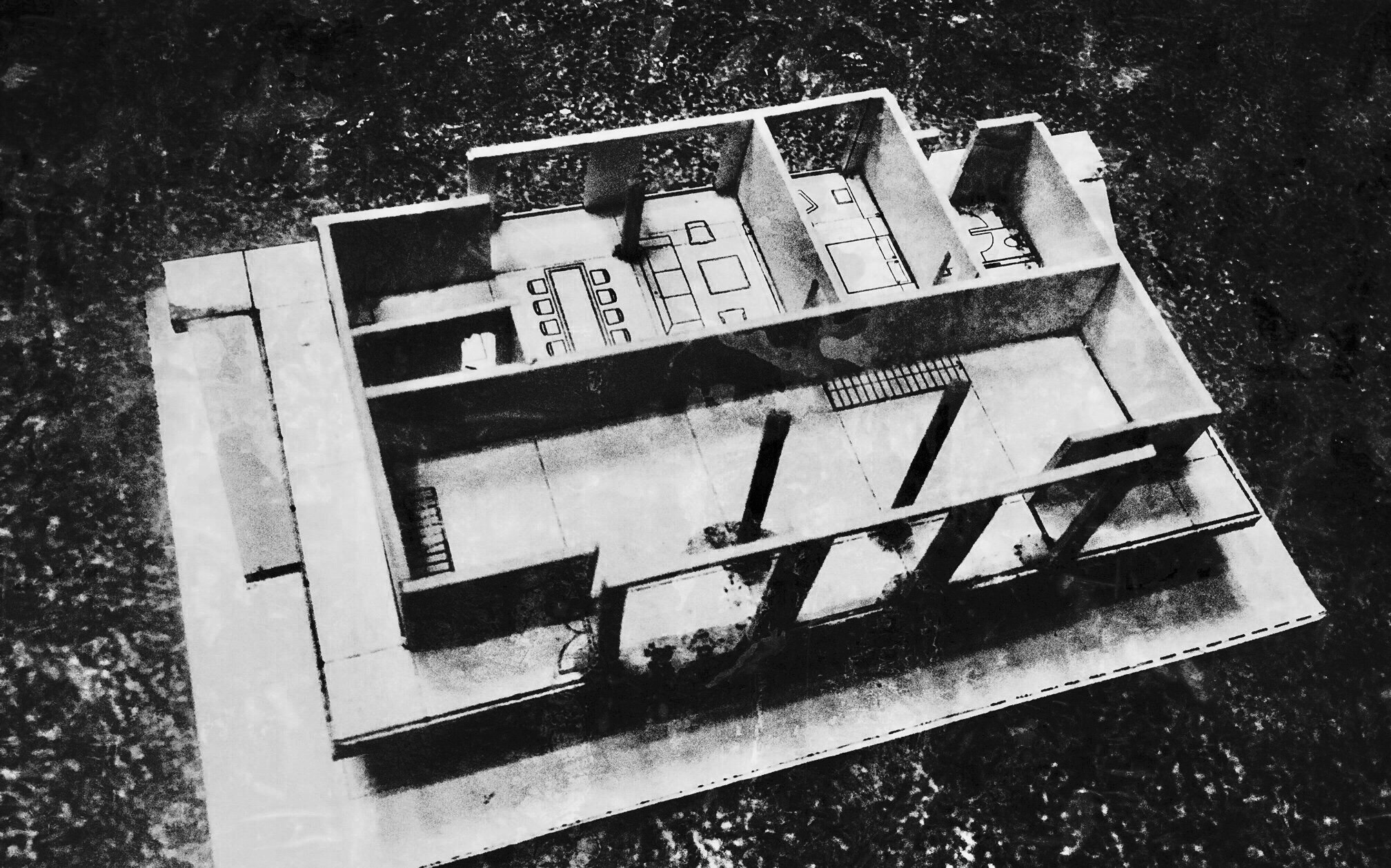
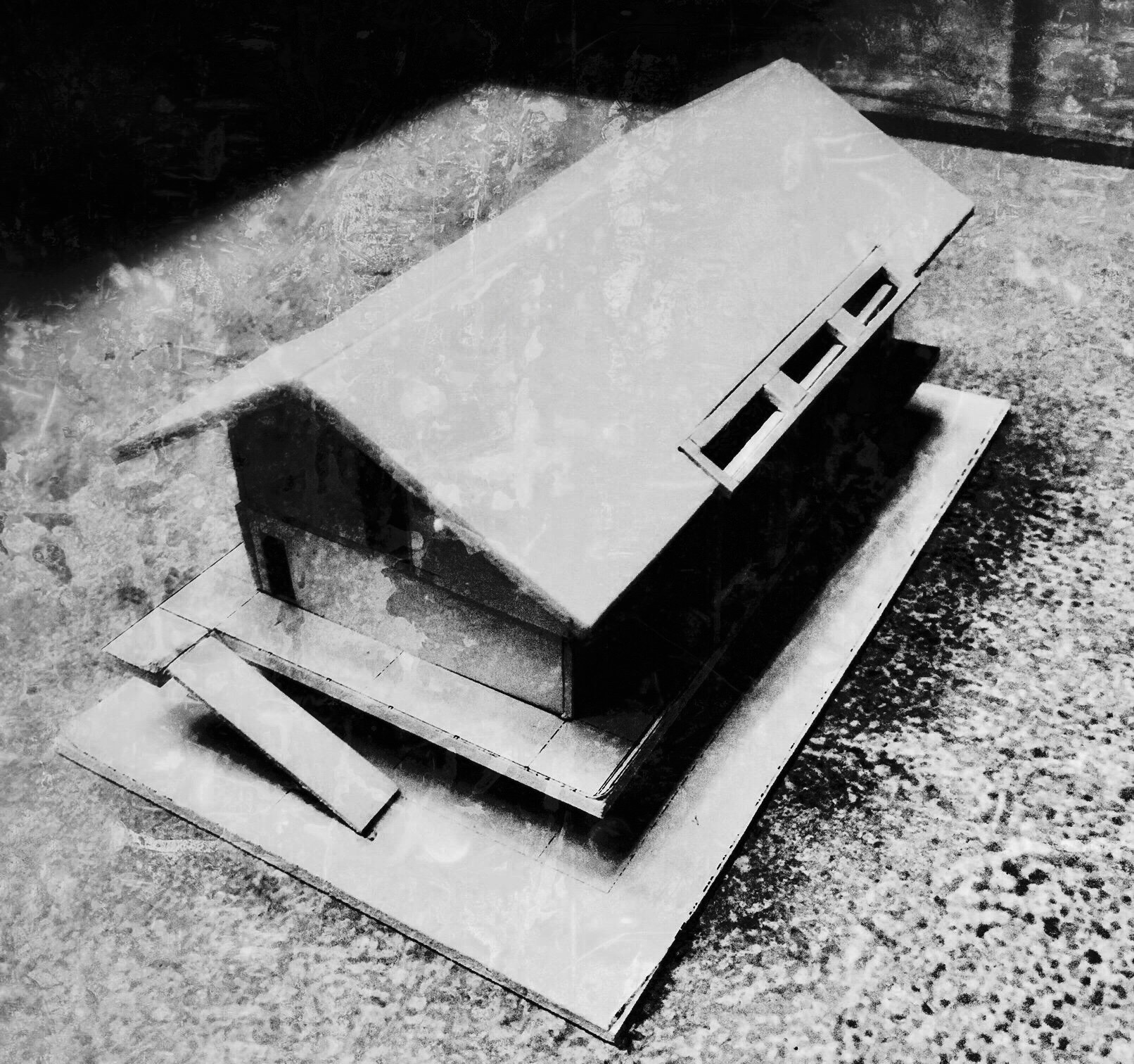
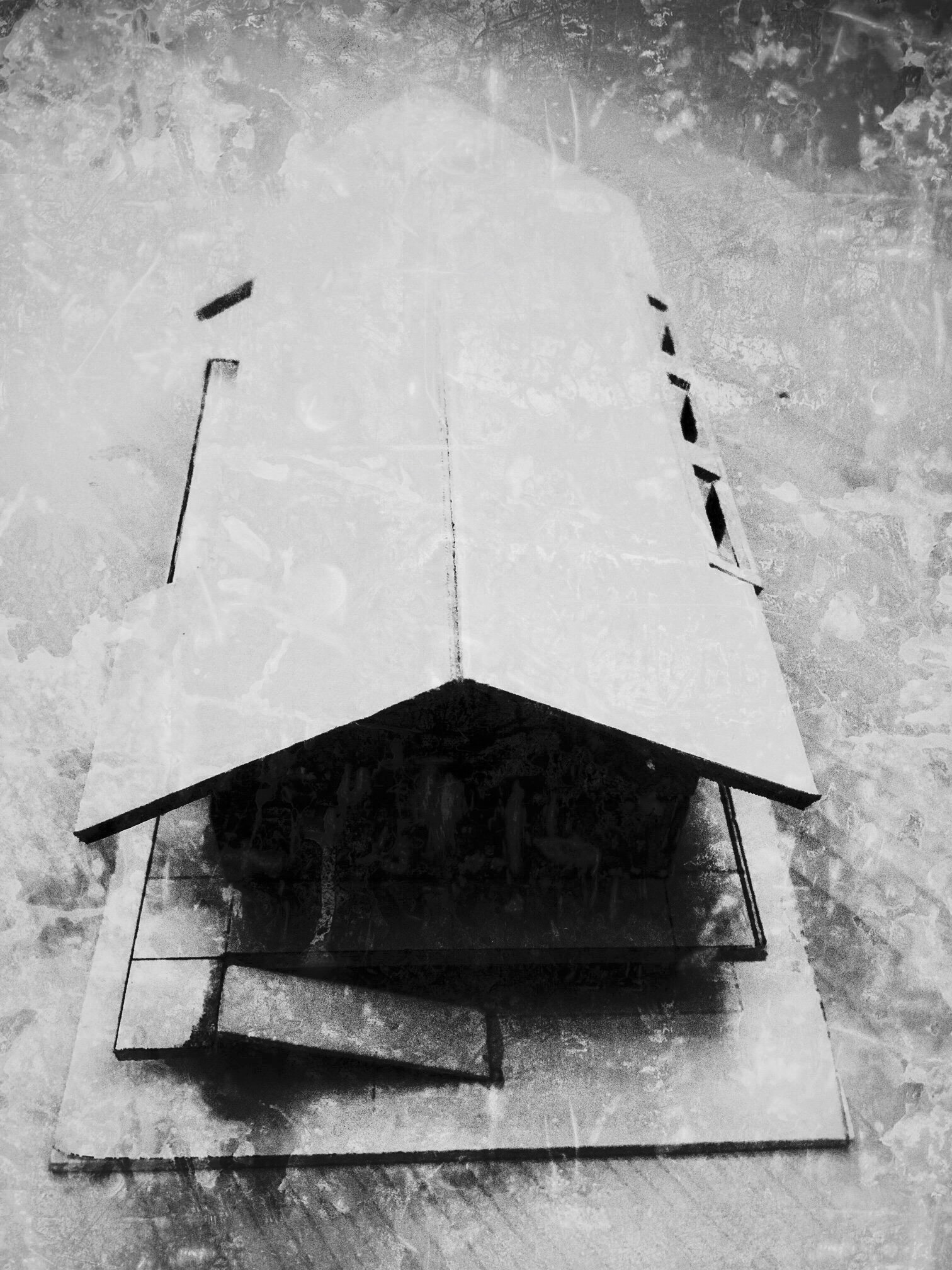
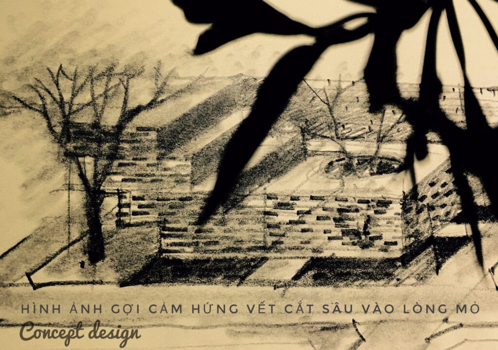
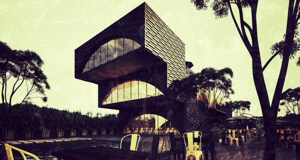
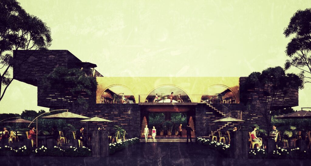
The project draws inspiration from the overlapping layers of coal seams, reimagined in reverse to symbolize the void left behind. Construction materials, sourced from coal itself, form layered bricks that replicate the natural striations of the seams. Space, materiality, and landscape converge to evoke the emotional and physical experiences of the miners.
Type
Gallery
Year
2016
Location
Cam Pha city
Team
Ho Viet Vinh
Mai Que Vu
Next project | Majestic Hotel Renovation

Established by the Hui-Bon-Hoa Company (owned by a Chinese-Vietnamese businessman known as Uncle Hoa), the hotel is located at the corner of Catinat Street (now Dong Khoi Street) and Quai de Belgique Street (now Ton Duc Thang Street). Designed in the popular baroque architectural style of the time, the hotel became one of Saigon’s most elegant and impressive buildings upon its completion in 1925.
The Majestic initially had three stories and 44 bedrooms, as per the original design by a French architect. In 1948, the Indochina Tourism and Exhibition Department, led by the Frenchman Franchini Mathieu, purchased the ground and first floors of the hotel and leased 44 rooms for 30 years.
The hotel was officially rated as a five-star establishment in 2007. In July 2011, construction began on two new towers along Nguyen Hue Street, adding 353 rooms to the hotel.
However, over time, the usage of the space and the integration of modern equipment have diminished the building’s original value. The goal of the redesign and renovation is to restore its luxury and evoke the essence of the famous Indochinese architectural style, reminiscent of old Saigon.
Next project | VOICES of NATURE

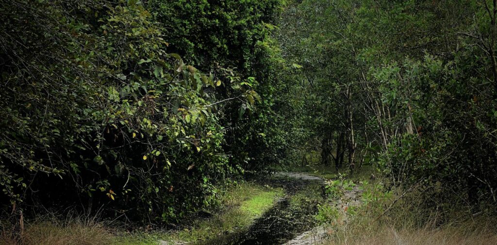
Bathing in the mist of the mountains and forests, we are like super crooked footsteps. Overconfidence has given way to humble trembling. Following the breath we look back at the decaying frame of the mythical years. I falter, bowing my head not to beg, but to apologize for the unruly bare-headed man.
Voices of nature
The melodious reverberation of the mountains and forests,
Clouds cover the rising sun,
I silently curled up in the wind,
Absorb the mist of the dawn light.
Âm vang núi rừng
Du dương vọng tiếng hoà ca rừng núi,
Mây ngập tràn che khuất mặt trời lên,
Ta lặng im cuộn mình trong làn gió,
Men hơi sương ngút ngọn ánh bình minh.
Ho Viet Vinh, Dalat 2021
Next project | Clay Pottery Gallery

Inspired by Professor Thai Kim Lan’s collection of over 7,000 ceramic artifacts recovered from the Perfume River, the idea was conceived to restore and elevate these artifacts to reflect their true value. All ceramic products originate from the earth and are matured through fire. The intense heat of fire hardens the earth, enabling it to endure the test of time.
To symbolize this tempering quality, dark red painted steel will be used. The interplay of contrasting elements—hot and cold, hard and soft—will be applied in the design language to accentuate the significance of time and place.

Type
Art gallery
Year
2019
Project
Thai Kim Lan Garden house
Team
HVV Artchitect & Partners, Ho Viet Vinh, Tran Thu Ha
Next project | Vietnam’s new biophilic architecture is going wild
Picture architecture in Vietnam and you might imagine ancient temples buried down countryside lanes or faded colonial buildings lining the city streets. But spurred by unprecedented economic growth, this Southeast Asian country of almost 100 million is revamping its traditional image – and architecture is part of the overhaul. After decades spent trying to keep Vietnam’s unrelenting jungles out of the cities, visionary architects now harness the wilderness to enhance their urban creations. And the countryside is no longer designated for relics of the past – but also innovations for the future. From contemporary art hubs hiding in the hills to city tower blocks blooming with foliage, here is the architecture that is making its mark on Vietnam.

Lebadang Memory Space, by Architect Ho Viet Vinh
Nestled in the countryside together with Hue’s centuries-old royal tombs, Lebadang Memory Space is a lively architectural update to the city’s monarchical heritage. This contemporary art museum is dedicated to late local artist Le Ba Dang, who sketched the drawing that the blueprints are based on. Local architect Ho Viet Vinh designed the structure, completed in April 2019, with a central skylight that allows beams of light to track through the exhibition hall throughout the day.

Sky House by MIA Design Studio
Vegetation bulges from the balconies and rooftops of Sky House, a home in Ho Chi Minh City completed in December 2019. The plot was spacious enough to accommodate a large townhouse, but instead of creating unrequired rooms, MIA Design Studio designated half the house to light, wind, water and trees. The result is a generous sky well that feeds light to the habitable rooms and chambers with no practical purpose but to house plants, trees, and indoor ponds.

Chicland, by Vo Trong Nghia
Award-winning architect Vo Trong Nghia is celebrated for his use of natural materials and foliage, such as bamboo and tropical plants. The 21-floor Chicland Hotel, completed in June 2019 in the modern seaside city of Danang, features both. The on-site café has earthy bamboo interiors while the balconies overflow with greenery. Similarly biophilic, Vo Trong Nghia’s Silver Cloud, slated for completion later this year, is a leafy long-stay hotel that blends with the lakes and mountains of Cuc Phuong National Park, 100km south of Hanoi.

Brick Cave, by Doan Thanh Ha
In Vietnam, bricks have been used for at least a millennium. Doan Thanh Ha, who recently won the Turgut Cansever International Award, constructed the Brick Cave in the suburbs of Hanoi with an additional exterior wall to form a narrow atrium around the house. This perforated exterior casing with large windows invites natural light into the family home while keeping it cool during Hanoi’s scorching summers. The rooftop features a vegetable garden.

Central Park, by LAVA and ASPECT Studio
LAVA and ASPECT Studio won the commission to revamp Ho Chi Minh City’s September 23 Park, one of the city centre’s largest green spaces. As well as outdoor art galleries, performance pavilions and sport zones, LAVA and ASPECT Studio are deploying smart city artificial trees. Water purification trees collect and recycle rainwater, ventilation trees provide fresh air and solar trees generate power. Construction is scheduled to begin later in 2020.

VAC Library, by Farming Architects
While large-scale ventures are making a bold impact, smaller innovations are surfacing more quietly. In Hanoi, VAC Library by Farming Architects (Pictured above) is both climbing frame and reading room set within a three-dimensional grid fashioned from wooden beams. Other small projects of great promise include the Chieng Yen Community House in Son La Province by 1+1>2 Architects, which has a semi-cylindrical thatch roof supported by a bamboo frame. In Danang, architecture studio Tropical Space used brick to construct Cuckoo House, a family home perched above a café.

Empire City, by Ole Scheeren
As Vietnam’s commercial capital, Ho Chi Minh City is entertaining many of the country’s most ambitious projects. With Empire City, Ole Scheeren explores how ‘nature can become an iconic element of architecture’ with a complex of three towers overlooking the Saigon River. At the building’s base, layered platforms evoke the swirling rice terraces of northern Vietnam. Over halfway up Empire Tower 88, the tallest of the three skyscrapers at 333 metres, sits the Sky Forest with verdant water gardens that echo the country’s jungles. Construction is expected to start in early 2021.
Next project | Spiritual Sustainability as the Core Essence
Spiritual Sustainability as the Core Essence
For Architect Hồ Viết Vinh, a sustainable structure must encompass multiple dimensions: structural sustainability, environmental sustainability, aesthetic sustainability, and cultural sustainability. Yet, there is one essential, foundational element that underpins them all: spiritual sustainability. One of his upcoming and most cherished projects currently in development is the Trịnh Công Sơn Park in the ancient capital of Huế.

Guided by a philosophy of holistic sustainability, Hồ Viết Vinh has crafted unique architectural works such as Lebadang Memory Space and more recently, the Coral House in Hồ Tràm.
Could you share more about the milestones that have shaped your 25-year career?
I can summarize my more than 25 years of navigating this profession—full of challenges—into four stages: searching, understanding, contemplation, and practice.
The first stage took me around five years. I was seeking a way to survive in this field, with much effort but little clarity beyond earning a living.
The second stage arrived when I realized that architecture demands not only physical effort but also profound intellectual engagement.
The third stage was contemplation—reflecting on the distinct values that drive creativity. This was perhaps the most challenging period. It required me to relinquish things I had painstakingly gathered over time, clearing my mind to make space for the new.
Finally, the fourth stage is practice—not merely following thought processes, but letting intuition and wisdom guide my actions.
Your design philosophy seems inspired by Buddhist thought, correct?
Yes, indeed! The teacher who profoundly influenced my design philosophy is Thích Nhất Hạnh from Làng Mai (Plum Village), with his wisdom of interbeing (tương tức). According to Thích Nhất Hạnh, interbeing means: “If we understand that humans and nature are inseparable, we will know how to treat nature as we would treat ourselves—with care, gentleness, and love, free from violence. If we don’t want to harm ourselves, we should not harm nature, for harming nature is ultimately harming ourselves, and vice versa.”
How do you incorporate the concept of emptiness in your architectural works?
In essence, space is defined by emptiness. Without emptiness, there is no space. We must distinguish between the concepts of empty/full and open/closed. The former refers to spatial density, while the latter concerns the degree of openness to the external environment.
Emptiness is where dialogues unfold—between humans and nature, between individuals, and between oneself and the spiritual realm. It is a void that leads to infinite transformation and change.

What is your perspective on sustainable architecture? What, in your view, is the primary factor that defines sustainability?
When discussing sustainability, we must ask: sustainable in what sense? Is it structural, environmental, aesthetic, or cultural sustainability? Today, most conversations focus on environmental sustainability, as we face the brink of ecological destruction.
In my perspective, a truly sustainable structure must integrate all four aspects, with an additional core foundation: spiritual sustainability. This form of sustainability is rooted in an intuitive understanding of the fundamental truth of life on Earth—harmony, where all beings support one another to coexist.
“Architecture is a part of nature, and thus, it must harmonize with its surroundings. Light, wind, rain, storms, and even insects are all guests of the space.”
Is there a project that best embodies your design philosophy?
That would be the Lebadang Memory Space in Huế. This space is a harmonious blend of three elements: nature, form, and poetry. Nature includes the creations of the Earth—trees, flowers, rivers, skies, stones, humans, and animals. Form is defined by lines, shapes, colors, and materials that shape the space. Poetry is the soul that breathes life into it, creating a space that resonates with both the physical and the spiritual.
The thread that connects natural elements with the crafted form is poetry—a melody that flows from the primordial, carrying with it layers of cultural sediment, merging with the rhythm of life to shape the memory of time.
An Architect who has influenced you?
That would be Peter Zumthor, the renowned Swiss architect known for his famous quote:
“To design buildings that captivate the senses, architects must transcend the limits of form and structure.”
What experience do you consider most important for an architect like yourself?
Architecture came to me as destiny. Therefore, every experience carries its own value—there is no good or bad experience.
However, one pivotal experience stands out as a turning point in my creative journey. In 2005, I had the opportunity to participate in the 8th International Creative Competition organized by Les Ateliers Internationaux de Maitrise d’Oeuvre Urbaine Cergy Pontoise in France.
The competition brought together nearly 40 architects, urban planners, economists, managers, and environmental specialists from 17 countries. The theme was Ecological Tourism Urbanism in Cần Giờ (Can Gio entre ville ecologique et destination touristique).
Our project, titled “The City of Distinct Emotions” made a powerful impression on the jury and won the Special Award.

What is your perspective on materials in architecture? Are you experimenting with any specific materials?
Materials play a vital role in evoking aesthetic emotions within architectural spaces, alongside form and design language. Under the influence of light, these three elements harmonize to create the texture of space.
In my architectural designs, I place particular emphasis on exploring and incorporating local materials. These materials infuse spaces with the spirit of the place, giving them a unique identity and soul.

Could you share more about an upcoming project you are excited about?
A project I hold dear and that is currently being developed in Huế is the Trịnh Công Sơn Park.
Located at the confluence of three rivers, it rests against the Gia Hội Ancient Quarter, gazes upon the Hương River, and looks towards Ngự Bình Mountain as its front shield, with the Kim Phụng Range stretching across the landscape. This harmonious geographical setting provides the perfect foundation for the park in the heart of the ancient capital.
The park spans approximately 6.2 hectares and stretches nearly 1 kilometer along the lower reaches of Hương River, surrounded by water landscapes. Its structure is divided into two main sections: (1) The Space of “The Great Circle of Unity“ (20,000 m²); (2) The Musical Garden Space (42,000 m²).
The Great Circle of Unity is designed around the symbol of the Vietnamese Embrace, forming a double-layered circle representing the Fields of Vietnam. This concept draws inspiration from Trịnh Công Sơn’s musical longing for peace.
At its heart stands the statue of Trịnh Công Sơn, with a poised and serene posture, emerging from the landscape like a mountain standing tall. He becomes a symbol of the nation’s desire for unity, love for humanity, and a reflection on the human condition.
Every step into this space echoes with the uplifting and refreshing melodies of his music. It invites us to connect, hand in hand, forming a unified entity called Vietnam.
The Musical Garden Space, on the other hand, captures the lingering melodies of nature. Here, one can sense the gentle whispers of grass, flowers, birds, and the vibrant life that surrounds us—a symphony of nature’s tender serenade.

Next project | INVISIBLE


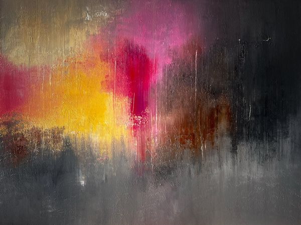
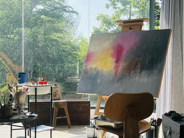
Invisible, Vinhho, Acrylic on canvas, 60×80, Maison de Corail, 2024
The overlapping layers of color create emotional and material depth, symbolizing disintegration and rebirth. The contrast between light and darkness, emphasizes the struggle between hope and suffering, opening up an abstract space rich in philosophical reflections on existence and history.
Next project | Maison des Marais

Supported by AI
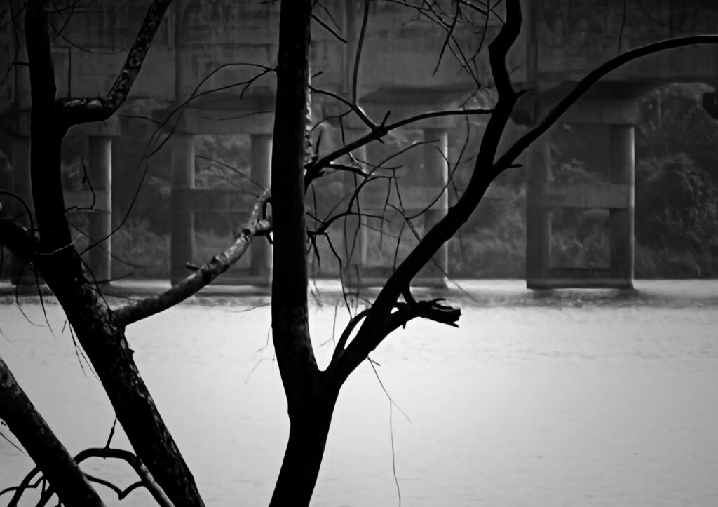
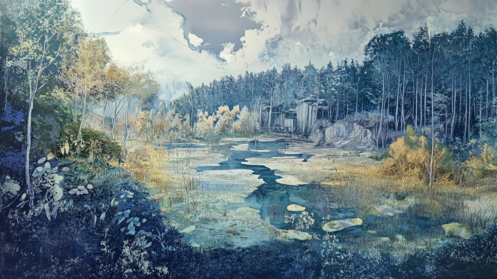
Maison des Marais embodies the ethereal dance between the tangible and the intangible. The structure, elevated on stilts, mirrors itself in the serene waters, creating a dialogue with the reflections that blur the boundary between reality and illusion. The thatched roof and wooden textures harmonize with the surrounding marshland, evoking a sense of timelessness and serenity. This architectural poetry captures the essence of nature’s abstraction, where each element, seen and unseen, contributes to a symphony of spatial resonance, reflecting the invisible threads that weave through the fabric of existence.


Supported by AI
Next project | Cape of Rapids

Cape of Rapids
Ho Viet Vinh
Waves filled with clouds, letting time drift by on the cape of rapids. The cape stretches out to await the sunset, ignoring the trembling sands as the tide rises.

Description
Exucuted in April 2020
Style
Lyrical Abstract
Technique
Acrylic on Canvas
Dimension
100W x 100H x 5D cm
The authenticity of this work has been confirmed by HVV Architect &Partners. A certificate of authenticity maybe delivered by the Company upon request to the buyer.
Next project | RED KINGDOM – Masterplan of Brickyard village at Mang Thit, Mang Thit District, Vinh Long province
“This is a project to preserve and develop the Mang Thit traditional brick and masonry heritage area, combining production space and water landscape. This area is planned into a contemporary product with different functional layers: preserving ceramic tile craft villages, expanding living space along the river and recreating the unique river landscape of the South. The multi-level dike approach helps maintain riverside living space, supports ceramic production and also develops eco-tourism, turning the area into a cultural and experiential destination for visitors.”
HVV Architect & Partners

Client:
Board of Civil and Industrial Construction Project Management – Vinh Long province People’ s Committee
Location:
Mang Thit dictrist, Vinh Long province, Vietnam
Size:
3.060 hectares
Services:
Masterplan
Status:
Approved on 2024
Team:
HVV Architect & Partners – Urban Planning Institute
Intro
Mang Thit District, Vinh Long Province, is one of the few remaining localities in Vietnam that preserves a unique and extensive architectural complex alongside a traditional craft. This architectural ensemble comprises nearly 1,000 domed kilns, spanning over 3,060 hectares along the banks of the Thay Cai, Hoa My, Cai Nhum canals, forming a southern arc that extends to the Nhon Phu and Hoa Tinh canals within the district. This is truly a valuable treasure, shaped by over a century of cultural and technological exchange between Khmer, Kinh, and Hoa people, resulting in a distinctive architectural heritage and traditional craft. However, this treasure has not been fully recognized or appreciated.
Over the past decade, more than 1,000 kilns have been demolished, and the remaining kilns are deteriorating and face the imminent threat of complete destruction. Given this alarming situation, it is imperative and urgent to conduct research and develop solutions to preserve and promote this architectural complex and traditional craft.


Learning from the Past and Looking to the Future
Over 100 years of formation and development, the structure of the craft village ecological system have established with 6 main space, including: surface water, brickyard system, yards, storage, fruite garden and house, fields.

The system of canals and land has formed a distinctive, easily recognizable landscape. Rivers and canals flowing from Co Chien River along Thay Cai canal, going deep into agricultural areas, have determined the main landscape axes; Residents live along the canals, inside are fruit and vegetable gardens, and deeper are fields and aquaculture areas. The ecosystem associated with the brick kiln area has created a closed process in the production of Mang Thit red ceramic. This is a characteristic and value that needs to be preserved and promoted.


Adaptive conservation in continued development
Adaptive conservation in continued development – preserving the existence of production space heritage, symbiotic ecological space, and Southern garden development cultural heritage; These valuable materials and spiritual values have been perfected during the development process, providing a contemporary breath and improving the quality of each space, gradually improving the quality of life of local people, so that their politics will gradually transform, reviving the soul of the place.
The heritage of Mang Thit – known as The Red Kingdom will be an interesting destination in Mekong Delta and should not be missed in your lifetime.
Zonning plan

No.1. Mixed-Use Development (Services – Tourism – Rural Residential): Approximately 347.91 hectares, with primary functions including residential development, mixed-use development (tourism services – rural residential), mixed-use development (services – urban residential), public services, public utility green spaces, specialized green spaces, other technical infrastructure, transportation, agricultural areas, and other functions.
No.2. Mixed-Use Development (Services – Urban Residential) along Co Chien River: Approximately 250.05 hectares, with primary functions including residential development, mixed-use development (services – urban residential), public services, public utility green spaces, specialized green spaces, heritage and religious sites, other technical infrastructure, transportation, agricultural areas, and other functions.
No.3. My An – Hoa My Residential Area: Approximately 415.50 hectares, with primary functions including residential development, mixed-use development (services – urban residential), public services, public utility green spaces, specialized green spaces, heritage and religious sites, other technical infrastructure, transportation, agricultural areas, and other functions.
No.4. Cai Nhum Eco-Residential Area: Approximately 150.31 hectares, with primary functions including residential development, public services, public utility green spaces, other technical infrastructure, transportation, agricultural areas, and other functions.
No.5. My Phuoc Eco-Resort: Approximately 106.43 hectares, with primary functions including residential development, public services, public utility green spaces, tourism development, other technical infrastructure, transportation, agricultural areas, and other functions.
No.6. My Phuoc Eco-Residential Area: Approximately 253.76 hectares, with primary functions including residential development, public services, public utility green spaces, specialized green spaces, heritage and religious sites, offices, other technical infrastructure, transportation, agricultural areas, and other functions.
No.7. Nhon Phu Eco-Residential Area: Approximately 309.78 hectares, with primary functions including residential development, public services, public utility green spaces, heritage and religious sites, offices, other technical infrastructure, transportation, agricultural areas, and other functions.
No.8. Hoa Tinh Eco-Resort: Approximately 198.23 hectares, with primary functions including residential development, mixed-use development (services – urban residential), public services, public utility green spaces, heritage and religious sites, offices, transportation, agricultural areas, and other functions.
No.9. High-Tech Agriculture Area: Approximately 1,028.03 hectares, with primary functions including residential development, public utility green spaces, tourism development, other technical infrastructure, transportation, agricultural areas, and other functions.

Master plan
The plan identifies 3 main development axes including:
- Mang Thit brick and ceramic kiln space at the center combined with service corridor along Co Chien river, agricultural experience corridor – traditional garden village along Cai Nhum river, high-end resort tourism corridor in the South;
- Mixed service axis – contemporary residential area in the Southern region of the West;
- The Eastern resort tourism axis will create motivation for development of the entire region.
The resort spaces around heritage area (My Phuoc eco resort, My Phuoc Eco-Residential area, Nhon Phu Eco-Residential Area, Hoa Tinh Eco-Resort) offer a variety of ecological, cultural and agricultural production experiences, taking the ceramic brick kiln area as inspiration for creativity.

With 5 gateways – 5 landscape architectural spaces typical of the Southern rivers and the ceramic brick kiln area, it will be an unforgettable, impressive identification point when visitors approach the ceramic brick kiln area by both Water transport and road transport.


Conclusion
This is a project to preserve and develop the Mang Thit traditional brick and masonry heritage area, combining production space and water landscape. This area is planned into a contemporary product with different functional layers: preserving ceramic tile craft villages, expanding living space along the river and recreating the unique river landscape of the South. The multi-level dike and heritage landscape approach helps maintain riverside living space, supports ceramic production and also develops eco-tourism, turning the area into a cultural and experiential destination for visitors.
Nhóm nghiên cứu: Ông Bùi Văn Nghiêm – Bí thư Tỉnh Uỷ Vĩnh Long; Ông Hồ Viết Vinh- Chuyên gia Qui hoạch đô thị; Ông Thạch Phước Hùng- Chuyên gia kinh tế nông nghiệp; Ông Nguyễn Thanh Phong- Chuyên gia Qui hoạch cộng đồng.
1. Dẫn nhập:
Trước thách thức của biến đổi khí hậu và nhu cầu phát triển bền vững, việc định hình không gian mặt nước trong cấu trúc đô thị đang trở thành một yếu tố then chốt, không chỉ giúp bảo vệ môi trường mà còn mở ra cơ hội khai thác tiềm năng du lịch và phát triển kinh tế sinh thái. Đặc biệt, khu vực Đồng bằng sông Cửu Long (ĐBSCL) với mạng lưới sông ngòi chằng chịt là một ví dụ điển hình cho cách mà việc quy hoạch không gian mặt nước hợp lý có thể góp phần vào phát triển kinh tế và cải thiện chất lượng sống của người dân. Trong bài tham luận này, chúng tôi tìm hiểu các khía cạnh lịch sử và thực tiễn của quá trình chỉnh trị kênh rạch, từ thời kỳ Chúa Nguyễn qua thời Pháp thuộc đến giai đoạn nay. Đồng thời, chúng tôi sẽ phân tích bài học thực tiễn từ các quốc gia có kinh nghiệm về quản lý và khai thác không gian mặt nước như Hà Lan. Bài tham luận cũng sẽ giới thiệu các dự án thực tiễn của Chúng tôi tại tỉnh Vĩnh Long – một trong những khu vực giàu tiềm năng để phát triển các mô hình đô thị và không gian sống ven sông, tạo điều kiện cho du lịch sinh thái phát triển, cũng như cải thiện sinh kế cho cộng đồng.
2. Thực trạng sử dụng đất nông nghiệp và tình hình biến đổi khí hậu tại Vĩnh Long:
Vĩnh Long, với lợi thế đất phù sa màu mỡ và hệ thống sông ngòi chằng chịt, từ lâu đã là vùng nông nghiệp, cây ăn trái quan trọng của Đồng bằng sông Cửu Long.
Tuy nhiên, tình hình biến đổi khí hậu và xâm nhập mặn ngày càng nghiêm trọng, ảnh hưởng đến hơn một nửa diện tích đất đai tự nhiên của Tỉnh. Trước thực trạng đất đai đô thị bị chia nhỏ, sử dụng chưa hiệu quả, kết hợp với biến đổi khí hậu tác động sâu rộng, đã đặt ra những thách thức lớn cho phát triển đô thị bền vững và kinh tế nông nghiệp của tỉnh.
2.1. Tình hình xâm nhập mặn:
Xâm nhập mặn đã ảnh hưởng đến hơn một nửa diện tích tự nhiên của tỉnh, gây suy giảm chất lượng đất và giảm năng suất cây trồng, tác động trực tiếp tới các vùng sản xuất nông nghiệp ven sông Hậu và sông Cổ Chiên, sông Măng Thít. Theo các kịch bản mô phỏng nguy cơ xâm nhập mặn thì ranh mặn 1,5g/l đến năm 2050 lên tới khu vực thành phố Vĩnh Long, điều này ảnh hưởng đến hoạt động cấp nước sinh hoạt của thành phố Vĩnh Long.
2.2. Đô thị dàn trải, quỹ đất đô thị ngày càng hạn hẹp:
Diện tích tự nhiên toàn Tỉnh Vĩnh Long: 152.573 ha;
Diện tích đất đô thị: từ 10.021 ha (năm 2020) tăng lên 12.652ha (năm 2030);
Dân số tỉnh:
+ Năm 2020: 1.023.000 người. Mật độ dân số bình quân: 6,70 ng/ha;
+ Năm 2025: 1.029.500 người. Mật độ dân số bình quân: 6,75 ng/ha;
+ Năm 2030: 1.031.000 người. Mật độ dân số bình quân: 6,76ng/ha.
Diện tích đất nông nghiệp bình quân đầu người (2030): 0,116 ha/người.
2.3. Biến đổi khí hậu:
Đánh giá nguy cơ ngập đến năm 2050, theo kịch bản RCP4.5, tỷ lệ ngập tại thành phố Vĩnh Long, thị xã Bình Minh lần lượt là 60,95%, và 44,12%, với kịch bản RCP8.5 là 63,81% và 44,91%. Mức nước biển dâng theo kịch bản RCP4.5 và RCP8.5 lần lượt là 23cm và 28cm.
2.4. Diện tích mặt nước lớn:
Tổng diện tích mặt nước lớn hơn 20,13%, trong đó hơn 10,13%diện tích nước mặt bao gồm hệ thống sông ngòi, kênh rạch và 10% diện tích vùng ngập tự nhiên theo triều.
Nguồn nước mặt của tỉnh Vĩnh Long phụ thuộc vào 4 dòng sông lớn chảy qua là sông Tiền, sông Cổ Chiên, sông Hậu và sông Măng Thít; ngoài ra, còn có khoảng 90 sông rạch lớn khác như: Long Hồ, Ba Kè, Cái Vồn Lớn, Cái Cam, Ba Càng, Cái Ngang, Mỹ Thuận, Vũng Liêm, Ngã Chánh, Trà Ngoa, Cái Nhum, rạch Chà Và, Bưng Trường, Hòa Tịnh, Cái Sao,…và nhiều kênh, rạch khác tạo thành hệ thống kênh rạch khá chằng chịt, phân bố đều khắp trong tỉnh và chiếm tỷ lệ 10,13% tổng diện tích tự nhiên (cao hơn vùng ĐBSCL là 5,79% và cả nước là 3,26 %).
Để đối mặt với những thách thức hiện nay, Vĩnh Long cần chuyển đổi mô hình phát triển theo hướng đô thị tích hợp, kết hợp hài hòa giữa khu ở, dịch vụ và không gian xanh, khai thác tốt không gian mặt nước cho phát triển đô thị và các hoạt động kinh tế. Đồng thời, tỉnh cần đẩy mạnh sản xuất nông nghiệp theo tiêu chuẩn: nông nghiệp thông minh, nông nghiệp hữu cơ, nông nghiệp sinh thái,… nhằm tăng năng suất, bảo vệ môi trường và nâng cao chất lượng cuộc sống người dân.
3. Quá trình chỉnh trị sông ngòi, kênh rạch tại Đồng bằng sông Cửu Long (ĐBSCL) dưới góc nhìn lịch sử khẩn hoang:
3.1. Mạng lưới nước cấp Vùng: Quá trình chỉnh trị sông ngòi và kênh rạch tại Đồng bằng sông Cửu Long trải qua nhiều giai đoạn lịch sử từ thời kỳ khẩn hoang đến thời Pháp thuộc và kéo dài đến hiện nay. Ban đầu, khu vực này được triều Nguyễn quan tâm phát triển hệ thống kênh rạch để mở rộng đất canh tác và phát triển giao thông thủy. Đáng kể nhất là công trình đào kênh Vĩnh Tế, bắt đầu từ năm 1819 dưới thời vua Gia Long, với mục đích phát triển nông nghiệp, ngăn chặn giặc ngoại xâm và tạo điều kiện giao thương. Đến thời Pháp thuộc, chính quyền thực dân đã đẩy mạnh việc nạo vét và mở rộng hệ thống kênh rạch nhằm phục vụ cho mục tiêu khai thác thuộc địa, đặc biệt là để vận chuyển hàng hóa như lúa gạo từ ĐBSCL đến Sài Gòn và các cảng quốc tế. Năm 1875, một ủy ban thường trực đã được thành lập để quản lý và hoàn thiện mạng lưới đường thủy từ Sài Gòn đến các tỉnh miền Tây, trong đó có việc đào mới và mở rộng nhiều kênh như Cột Cờ, Nước Mặn và Trà Ôn. Thời kỳ Toàn quyền Paul Doumer (1897-1902) đánh dấu bước ngoặt lớn trong việc mở rộng hệ thống kênh rạch, với các công trình quy mô lớn như kênh Rạch Giá – Hà Tiên, nhằm khai thác và mở rộng vùng tứ giác Long Xuyên, từ đó giúp tăng diện tích đất canh tác. Trong giai đoạn từ 1914 đến 1929, hệ thống kênh rạch tiếp tục được mở rộng với khối lượng đào đắp khổng lồ, lên đến 177 triệu mét khối đất cho 1.664km kênh mới.

Hình 1. Các con lộ và các đô thị của vùng châu thổ. Những đường thẳng đậm nét hầu hết thể hiện hệ thống kênh đào và những con lộ hai làn kè bên trong vùng ĐBSCL. Carte Des voies Navigables de Cochinchine công bố năm 1926. Nguồn: wikipedia
Qua các thời kỳ, việc chỉnh trị sông ngòi và phát triển hệ thống kênh rạch không chỉ cải thiện khả năng canh tác, mà còn tạo điều kiện thuận lợi cho giao thông, thương mại và góp phần hình thành nên cấu trúc kinh tế – xã hội đặc trưng của ĐBSCL. Đây là nền tảng quan trọng cho sự phát triển bền vững của vùng đất này trong bối cảnh hiện nay.
3.2. Mạng lưới nước tại Vĩnh Long: Mạng lưới nước tại Vĩnh Long có vai trò quan trọng trong việc phát triển kinh tế, văn hóa và đảm bảo sinh kế bền vững cho cộng đồng địa phương. Đặc điểm nổi bật của mạng lưới này là sự đa dạng và phong phú với hệ thống sông ngòi, kênh rạch chằng chịt. Tỉnh Vĩnh Long nằm giữa sông Tiền và sông Hậu, có hệ thống kênh rạch tự nhiên và nhân tạo phong phú, tạo nên một mạng lưới nước bao phủ khắp khu vực, giúp vận chuyển và lưu thông nước một cách hiệu quả, đồng thời phục vụ cho nông nghiệp và đời sống dân cư.

Hình 2. Bản đồ lịch sử cuộc viễn chinh Nam Kỳ năm 1861 của Léopold Paullu de la Barrière. Vĩnh Long là 1 trong 6 vùng thuộc Nam Kỳ lục tỉnh. Cochinchine Francaise bản đồ do ông M. Dutreuil De Rhins vẽ và xuất bản trên Dépôt de la Marine năm 1881. Nguồn: wikipedia
Tỉnh Vĩnh Long có 3 nguồn nước chính từ 3 con sông lớn đi qua, bao gồm: sông Tiền, sông Hàm Luông và sông Cổ Chiên, ngoài ra còn có vô số rạch và kênh đào xẻ ngang xẻ dọc khắp tỉnh. Những con rạch chính như Mang Thít, Sông Ngang, Long Hồ, Bà Kè, Vũng Liêm, Bà Phong, Cái Cá, Cái Cau. Sau khi Vĩnh Long là thuộc địa của Pháp, chính quyền tỉnh đã cho đào nhiều con kênh để nối liền các con rạch với nhau, như là Kênh Thầy Cai, Cái Cau, kênh Chà Và, kênh Bocquet, kênh Ông Me, kênh Bưng Trường, Trà Ngoa, Huyên Thuyền… Hệ thống kênh rạch này đóng vai trò quan trọng trong việc tháo nước và dẫn nước để canh tác.

Hình 3. Bản đồ lịch sử hạt Vĩnh Long năm 1885. L’Arrondissement de Vinh Long. Publié sous la direction de M r. Camouilly Chef de Service du Cadastre conformément aux instruction de M r. Nouét directeur de l’Intérieur. Nguồn: gallica.bnf.fr/
Phân tích cho thấy, hệ thống sông nước ở Vĩnh Long hỗ trợ phát triển nhiều loại hình kinh tế, như canh tác lúa nước, trồng cây ăn trái, đặc biệt là các loại trái cây đặc sản. Ngoài ra, các hệ thống đê bao và bờ kè cũng đã được xây dựng để kiểm soát lũ lụt và bảo vệ mùa màng. Các khu vực có tầng mức ngập khác nhau cũng được tận dụng để phát triển các loại hình nông nghiệp khác nhau như nuôi trồng thủy sản ở vùng ngập sâu và canh tác hoa màu ở vùng ngập nông. Cảnh quan sinh thái của Vĩnh Long không chỉ có giá trị về kinh tế mà còn mang lại tiềm năng lớn cho phát triển du lịch sinh thái, đặc biệt là các hoạt động trải nghiệm và khám phá vùng sông nước Nam Bộ. Nét văn hóa sinh hoạt “trên bến dưới thuyền” từ xưa đến nay vẫn được gìn giữ và phát triển, tạo sức hút du lịch và là nguồn cảm hứng cho việc tái tạo không gian sinh hoạt trên sông nhộn nhịp, sầm uất đặc trưng của miền Tây.

Hình 4. Quang cảnh sinh hoạt trên bến dưới thuyền tại hạt Vĩnh Long. Các công trình tiếp giáp với mặt sông với các không gian kết nối, giao thương, nhộn nhịp, sầm uất. Nguồn ảnh: manhhai flick

Hình 5. Quang cảnh trung tâm Vĩnh Long dọc sông Cổ Chiên năm 1967. Chính giữa là trung tâm tập trung dân cư. Bên trái là rạch Long Hồ (nay là sông Long Hồ), bên phải là rạch Cái Ca (nay gọi là sông Cầu Lộ). Nguồn ảnh: manhhai flick
Nhìn chung, mạng lưới nước tại tỉnh Vĩnh Long không chỉ góp phần vào phát triển kinh tế – xã hội mà còn đóng vai trò quan trọng trong việc gìn giữ văn hóa truyền thống, bảo vệ môi trường và đảm bảo sự phát triển bền vững cho khu vực này.
4. BÀI HỌC THỰC TIỄN TỪ ĐÊ BAO ĐA TẦNG CỦA HÀ LAN Mô hình đê bao đa tầng của Hà Lan là một giải pháp quản lý nước thông minh, được phát triển nhằm đối phó với tình trạng ngập lụt và xâm nhập mặn thường xuyên xảy ra tại quốc gia này. Thay vì chỉ xây dựng đê bao thông thường, đê bao đa tầng được thiết kế theo cấu trúc phân tầng, cho phép nước tràn vào có kiểm soát và tạo điều kiện cho đất đai phù sa bồi đắp tự nhiên. Đây là một hệ thống phức hợp, vừa bảo vệ an toàn cho khu vực sinh sống và sản xuất của con người, vừa tận dụng được nguồn tài nguyên thiên nhiên để cải thiện chất lượng đất.

Hình 6. Sơ đồ mặt cắt ngang thể hiện môi trường các tầng lắng động ứng dụng mô hình đê bao đa tầng. Nguồn: Michiel J. van der Meulen & Ane P. Wiersma & Marcel van der Perk & Hans Middelkoop & Noortje Hobo (2009). Sediment management and the renewability of floodplainclay for structural ceramics.
Một điểm nổi bật của đê bao đa tầng là tích hợp yếu tố sinh thái và cảnh quan vào hệ thống đê điều. Các tầng đê được thiết kế sao cho phù hợp với mức ngập nước tự nhiên theo mùa, từ đó tạo ra các khu vực ngập nước nông, ngập trung bình và ngập sâu. Mỗi tầng đê được sử dụng cho những mục đích khác nhau: các tầng ngập nông có thể trồng trọt, các tầng ngập trung bình có thể nuôi trồng thủy sản, còn các tầng ngập sâu thường là khu vực bảo tồn sinh thái và cảnh quan. Cách phân tầng này giúp giữ phù sa và cải tạo đất, rất phù hợp cho các vùng đất trũng như Đồng bằng sông Cửu Long ở Việt Nam.

Hình 7. Sơ đồ mô hình đê bao đa tầng thể hiện các mức ngập nước khác nhau phù hợp với các mục đích sử dụng cho hoạt động kinh tế nông nghiệp và du lịch. Nguồn: nhóm tác giả
Hơn nữa, đê bao đa tầng còn giúp giảm chi phí và công sức duy trì, vì nó tận dụng thiên nhiên để bồi đắp và tái tạo đất đai thay vì phải nạo vét hoặc xây dựng nhân tạo. Hệ thống này cũng có vai trò quan trọng trong việc phát triển các mô hình kinh tế sinh thái và du lịch. Những khu vực ngập sâu có thể phát triển du lịch sinh thái, thu hút du khách đến trải nghiệm cảnh quan đặc sắc, đồng thời tạo sinh kế bền vững cho cộng đồng địa phương.
Bài học từ đê bao đa tầng của Hà Lan là một minh chứng cho thấy cách mà con người có thể hài hòa giữa nhu cầu bảo vệ môi trường và phát triển kinh tế, thông qua việc sử dụng hệ thống quản lý nước thông minh. Đây là mô hình mà Việt Nam có thể áp dụng để giảm thiểu tác động của biến đổi khí hậu, bảo vệ an toàn cho người dân và phát triển sinh kế lâu dài tại Đồng bằng sông Cửu Long.
5. MỰC NƯỚC ĐẶC TRƯNG TẠI TRẠM TÂN AN (SÔNG VÀM CỎ TÂY)
Bảng 1: Mực nước đặc trưng năm (cm) trích từ năm 2009 đến năm 2019 Trạm Tân An – Sông Vàm Cỏ Tây

Bảng 2: Mực nước đặc trưng tháng (cm) Trạm Tân An – Sông Vàm Cỏ Tây

*Nguồn: Đài khí tượng thủy văn khu vực Nam Bộ
Trong quá trình nghiên cứu mực nước các dòng sông lớn tại ĐBSCL, chúng tôi đã có những phân tích, tổng hợp các dữ liệu về mực nước đặc trưng theo tháng và theo năm, đặc biệt là các thông số mức nước tại trạm thủy văn Tân An trên sông Vàm Cỏ Tây.
Các đánh giá và phân tích mực nước trong khoảng thời gian từ năm 1977 đến năm 2019, cho thấy các đặc trưng cao độ mức nước được chia ra theo cao độ thấp (Hmin), trung (Htb), cao (Hmax), tương ứng với 3 mức ngập: khu vực ngập nước sâu, ngập trung bình, ngập nông. Đây là cơ sở để thiết kế mô hình đê bao đa tầng tại khu vực Tân An và các khu vực lân cận có mực nước tương đồng trong khu vực ĐBSCL.
6. CÁC DỰ ÁN ÁP DỤNG LOẠI HÌNH CHỨC NĂNG PHÙ HỢP VỚI DẠNG MẪU ĐÊ BAO ĐA TẦNG ĐỂ KHAI THÁC KHÔNG GIAN MẶT NƯỚC:
6.1.Dự án Vương Quốc Đỏ Mang Thít: Đây là một dự án bảo tồn và phát triển khu Di sản gạch, gốm truyền thống Mang Thít, kết hợp không gian sản xuất và cảnh quan mặt nước. Khu vực này được quy hoạch thành một Di sản đương đại với các tầng chức năng khác nhau: bảo tồn làng nghề gạch gốm, mở rộng không gian sinh hoạt ven sông và tái tạo cảnh quan vùng sông nước đặc trưng của Nam Bộ. Cách tiếp cận đê bao đa tầng giúp duy trì không gian sống ven sông, hỗ trợ sản xuất gốm, và đồng thời phát triển du lịch sinh thái, biến khu vực này thành điểm đến văn hóa và trải nghiệm cho du khách.

Hình 8. Bản đô kiến trúc cảnh quan khu lò gạch, gốm – vương quốc đỏ Mang Thít đến năm 2045. Nguồn: nhóm tác giả

Hình 9. Mặt cắt tổ chức cảnh quan ven sông áp dụng mô hình đa tầng ngập với sắc thái cảnh quan và chức năng khác nhau ven bờ kênh Thầy Cai. Không gian vùng lõi bảo tồn làng nghề gạch gốm. Nguồn: nhóm tác giả

Hình 10. Cảnh quan hai bên bờ kênh Thầy Cai, vùng lõi bảo tồn làng nghề gạch gốm với hệ thống bờ kè mềm đa tầng và bờ cứng bậc cấp xen kẻ kết hợp bến thuyền, không gian dịch vụ gạch gốm được tổ chức ven sông, hổ trợ quá trình chuyển đổi, đồng thời phát triển du lịch sinh thái, biến khu vực này thành điểm đến văn hóa và trải nghiệm cho du khách. Nguồn: nhóm tác giả

Hình 11. Cảnh quan cộng đồng dân cư mới gắn với hệ thống kênh rạch nội khu. Các không gian ven sông được tạo hình bằng bờ kè mềm đa tầng tạo các công năng và sắc thái cảnh quan khác nhau theo mùa ngập. Nguồn: nhóm tác giả

Hình 12. Cảnh quan vùng sản xuất nông nghiệp sinh thái theo tiêu chuẩn gắn với sông nước kết hợp dịch vụ du lịch, trải nghiệm. Nguồn: nhóm tác giả

Hình 13. Cảnh quan cổng chào, vườn cây ăn trái và gạch gốm kết hợp với cảnh quan ven sông theo mô hình kè mềm đa tầng, cung cấp nhiều không gian trải nghiệm khác nhau cho du khách khám phá Làng nghề Gạch Gốm truyền thống ven sông Cổ Chiên. Nguồn: nhóm tác giả
6.2. Dự án Eco Farm Village: Eco Farm Village là mô hình khu sinh thái thích ứng với nước, bao gồm nhiều tầng không gian canh tác và sinh hoạt tùy theo mức độ ngập nước. Các tầng ngập nông dùng cho việc trồng rau màu, cây ăn trái; trong khi các tầng ngập trung bình và ngập sâu được sử dụng để nuôi trồng thủy sản và tạo cảnh quan sinh thái. Dự án này hướng tới phát triển nông nghiệp bền vững, kết hợp hài hòa giữa canh tác, sinh thái và du lịch sinh thái, cho phép du khách tham quan và trải nghiệm cuộc sống nông thôn miền Tây, đồng thời giữ gìn môi trường tự nhiên.

Hình 14. Vị trí dự án nằm bên bờ sông Cổ Chiên. Nguồn: nhóm tác giả

Hình 15. Sắc thái cảnh quan khu vực dự án – vùng canh tác nông nghiệp, thủy sản ven sông Cổ Chiên. Nguồn: nhóm tác giả

Hình 16. Bản đồ tổ chức KG kiến trúc cảnh quan dự án Eco Farm village. Nguồn: nhóm tác giả

Hình 17. Phối cảnh không gian khu sinh thái thích ứng với nước – dự án Eco Farm village. Nguồn: nhóm tác giả

Hình 18. Nhà ở được thiết kế thích ứng với con nước, các tầng không gian ngập sâu, trung bình, ngập nông được bố trí có chủ đích nhằm tạo ra các góc nhìn cảnh quan khác nhau. Nguồn: nhóm tác giả
6.3. Dự án Đô thị Bình Minh (Water-Based City): Dự án này hướng tới xây dựng một đô thị ven sông hiện đại, dựa trên hệ thống kênh rạch dày đặc của khu vực Bình Minh, với các công viên và không gian sinh hoạt dọc theo các tuyến kênh. Cấu trúc đê bao đa tầng cho phép khai thác các vùng ngập nông và ngập trung bình để bố trí không gian công cộng, khu thương mại và các dịch vụ ven sông. Khu vực ngập sâu và hồ sinh thái được dùng làm công viên chuyên đề, phục vụ nghỉ dưỡng và vui chơi giải trí. Nhờ đó, đô thị Bình Minh không chỉ phát triển kinh tế từ du lịch và thương mại mà còn gìn giữ môi trường, đáp ứng nhu cầu sinh sống, làm việc của cộng đồng dân cư.

Hình 19. Bản đồ hệ thống mạng nước thị xã Bình Minh đến năm 2045. Nguồn: nhóm tác giả

Hình 20. Mặt cắt không gian từ khu vực sông Hậu đến không gian sông nội khu. Các không gian công cộng, thương mại, dịch vụ và các công viên được bố trí ven sông, tạo điều kiện để người dân tiếp cận dễ dàng với mặt nước và các đê bao đa tầng kết hợp cảnh quan sinh thái ven kênh. Nguồn: nhóm tác giả

Hình 21. Mặt cắt không gian đô thị qua vùng ngập sâu và hồ sinh thái. Các khu vực này được dùng làm công viên chuyên đề, phục vụ nghỉ dưỡng và vui chơi giải trí. Nguồn: nhóm tác giả

Hình 22. Mặt cắt không gian đô thị trục đại lộ sông nước phía Bắc. Nguồn: nhóm tác giả
7. Kết luận – kiến nghị:
Qua những nội dung trình bày, chúng tôi chỉ ra vai trò thiết yếu của việc quản lý và khai thác không gian mặt nước trong cấu trúc đô thị, đặc biệt là trong bối cảnh biến đổi khí hậu và áp lực gia tăng dân số tại Đồng bằng sông Cửu Long. Với diện tích mặt nước rộng lớn và cảnh quan đặc trưng, Vĩnh Long có tiềm năng khai thác mặt nước để phát triển, mở rộng không gian đô thị và tạo bản sắc sông nước vùng châu thổ Đồng bằng sông Cửu Long. Đặc biệt hình thành các không gian dịch vụ du lịch sinh thái và nghỉ dưỡng ven sông, kênh rạch. Phương thức này vừa tận dụng được tiềm năng và thế mạnh của vùng đất, vừa hạn chế thấp nhất việc thu hồi đất lúa cho việc chuyển đổi thành không gian đô thị.
Tài liệu tham khảo:
- Lê, Q. Đ. (1961). Phủ biên tạp lục. Hà Nội, Việt Nam: NXB. Khoa học Xã hội
- Trịnh, H. Đ. (1998). Gia Định thành thông chí. Hà Nội, Việt Nam: NXB. Giáo dục
- David A. Biggs. (2010). Quagmire: Nation-Building and Nature in the Mekong Delta
- Son Kim Dang (2011). Production Systems and Farming Systems in the Mekong Delta. The 4th JIRCAS International Symposium
- Michiel J. van der Meulen & Ane P. Wiersma & Marcel van der Perk & Hans Middelkoop & Noortje Hobo (2009). Sediment management and the renewability of floodplainclay for structural ceramics. Springerlink.com
- Caitlin A Grady & Thai Van Nguyen & Ernest R. Blatchley III & Kien Van (2024) Who is being left behind? An analysis of improved drinking water and basic sanitation access in the Vietnamese Mekong Delta
- Thư viện Khoa Học Tổng hợp TP.HCM
- Viện Quy hoạch thủy lợi miền Nam
- Vietnamese-Mekong-River-Delta-land-use-and-site-locations_fig1_325159548
- Quy hoạch tỉnh Vĩnh Long giai đoạn 2021-2030, tầm nhìn đến năm 2050